Notice: Due to ongoing construction, 4 East is currently closed to the public.  To obtain items located on 4 East, please place an online request for the item to be paged for you using the ‘Place Request’ button in the catalog. Please visit our Circulation FAQ page for assistance in using our catalog.
Footpath to Freeway: The Evolution of Michigan Roadmaps

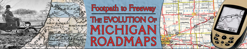
Footpath to Freeway: The Evolution of Michigan Road Maps

This exhibit traces how roads have been depicted on Michigan maps from the time it was a territory to the present. In addition to maps, it includes photographs, unique short-lived route guides and artifacts. Maps evolved in step with the road system and showed advances such as named roads which were in time replaced with numbered state and federal routes. Publishers include map giants Rand McNally and Gousha who also supplied oil companies with their ubiquitous freely distributed road maps.